AI for forest management
Every tree.
In the picture.
Turn forest footage into a living inventory. See what grows, where it stands, and how your forest fits together.
A real forest. An interactive sample. No sign-up.
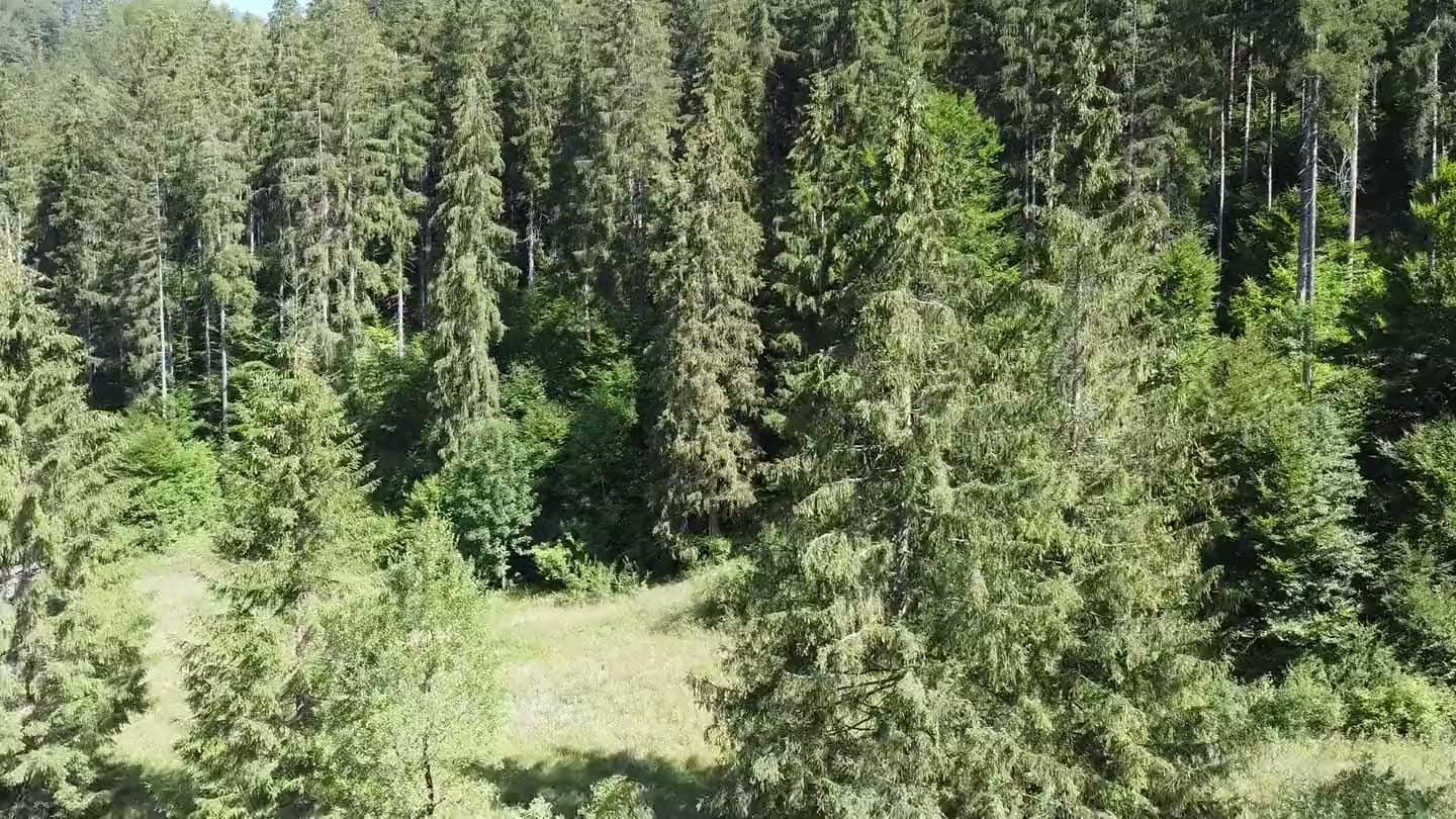
How it works
From a flight to a forest inventory.
Capture your forest. Connect the coordinates. Bring every tree into focus.
- 01
Record
Drone video above the canopy and ground video from inside the stand. An ordinary camera or a phone is enough.
- 02
Locate
Every frame needs coordinates. Use the GPS track your drone embeds in the video, or run a separate GPS tracker at the same time.
- 03
Analyse
Turo detects individual trees, identifies the species, counts the stems and estimates where each one stands.
- 04
Compare
The result is laid over your forest management plan. You see where the stand matches the plan and where it does not.
Right half: every tree found and outlined automatically, without manual correction.
What you provide
- Drone video above the canopy
- Ground video from inside the stand
- GPS: telemetry embedded in the video, or a separate tracker log from the same time
- Your forest management plan
What you get
- Species composition of the stand
- Tree count and density
- Map of individual tree positions
- Differences against the management plan
Contact
Contact us for more info and pricing
Turo is priced per project. Tell us the size of your forest and what footage you have, and we will come back with a quote.